Red, right, return.” It was drilled into my head early on, and for all the years I sailed in North America, it proved true. Then I went cruising across the Pacific. One of the first things I learned is that the rest of the world doesn’t echo the same navigational mnemonic.
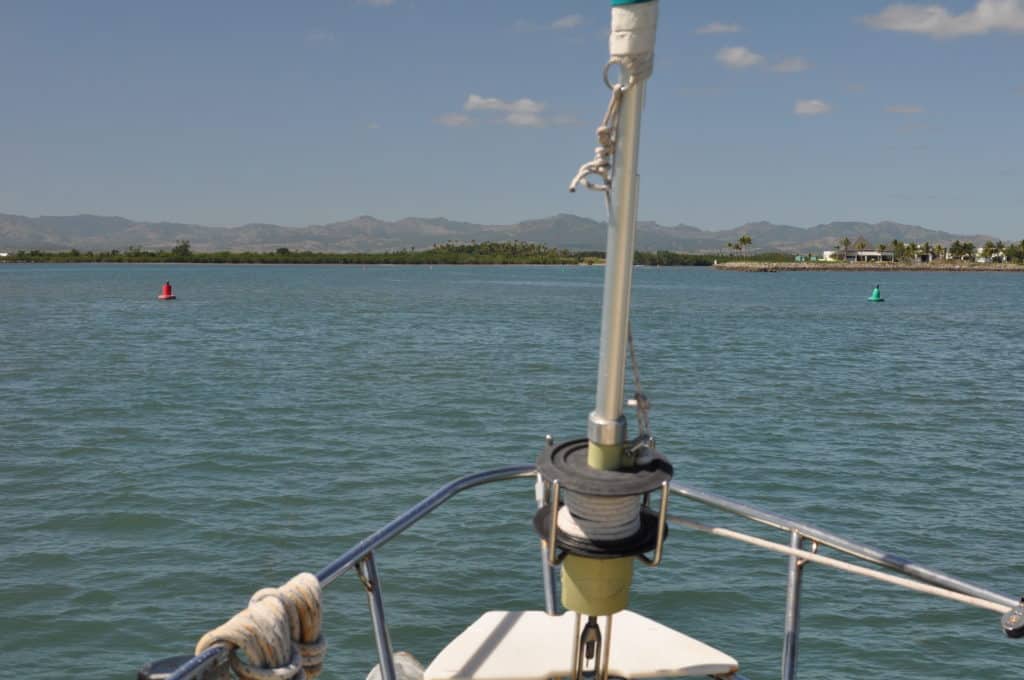
I first noticed it entering a French Polynesian harbor, on the island of Hiva Oa in the Marquesas. “Hey, check that out,” I said to my wife, Windy. “The buoys are on the wrong side of the channel.” At the mouth of the narrow bay, there was a green buoy to starboard and a red one to port.
Shortly after we got the hook down, I mentioned this to a French cruiser nearby. He assured me the buoys were properly located. “We do it differently in France,” he said.
Red, left, return? It doesn’t have the same ring. I wondered how there could be two different standards for such a fundamental navigational rule. Was it just a French idiosyncrasy?
I started reading. What I learned was startling, a story that begins in the thick winter fog of the English Channel.
It was a cold January day in 1971 when Paracas, a 12,000-ton Peruvian freighter, left the shipping lanes while in the Dover Strait and struck Texaco Caribbean, a Panamanian oil tanker. The tanker exploded and sank, and eight sailors died. Paracas was towed to port, and British authorities immediately anchored three green vertical lights to mark the shallow wreck and warn mariners.
The next day, Brandenburg, a West German freighter, struck the wreck and sank in minutes. Twenty-one sailors died. British authorities responded by stationing a lightship and five additional light buoys at the wreck site. Just over a month passed before a Greek cargo ship, Niki, struck the wrecks and sank. All 22 crew were lost.
At this time, the British government stationed a second lightship and added 10 light buoys on site. They also began removing all three wrecks so they were no longer a hazard to navigation. There were no further collisions, but reportedly many close calls until all traces of the sunken ships were removed.
Surprisingly, at the time of these tragedies, there were 30 different buoyage systems in use throughout the world. The disparity was cited as a contributing factor to the disasters and prompted the International Association of Marine Aids to Navigation and Lighthouse Authorities (IALA) to implement a standard, the Maritime Buoyage System. This system, ratified in 1982, consolidated the 30 systems into two. These two systems are what we have today.
With regard to buoyage used to mark harbor entrances, the systems are pretty similar. In all cases, markers to port (when entering a harbor from sea) shall be square or have a flat top. Markers to starboard shall be conical or have a triangular shape or pointed top. In all cases, markers shall be green or red.
But whether they are green to port and red to starboard or the opposite depends entirely upon what region of the world you are navigating. The IALA established two regions: Region A and Region B.
Region A consists of Europe, Australia, New Zealand, parts of Africa and most of Asia. When entering a harbor in this region, marks to port are red and marks to starboard are green.
Region B consists of North America, Central America and South America, plus the Philippines, Japan and Korea. When entering a harbor in this region, marks to port are green and marks to starboard are red (red, right, return!).
Now that we’re spending much of our time cruising in Region A countries, where my mnemonic is worthless, I’m keeping in mind something else the French cruiser said to me that day in the Marquesas: “You know why I know you Americans have it backward? Port wine is red.” Yes, it is.