In 2013, NOAA announced plans to end the production of traditional paper nautical charts, to the wringing of hands and gnashing of teeth from many mariners. Ten years later, most cruisers do not rely on paper charts (arguably, many had moved away from them well before 2013). Is this a travesty, or just the march of technology and time? What do we do on Totem?
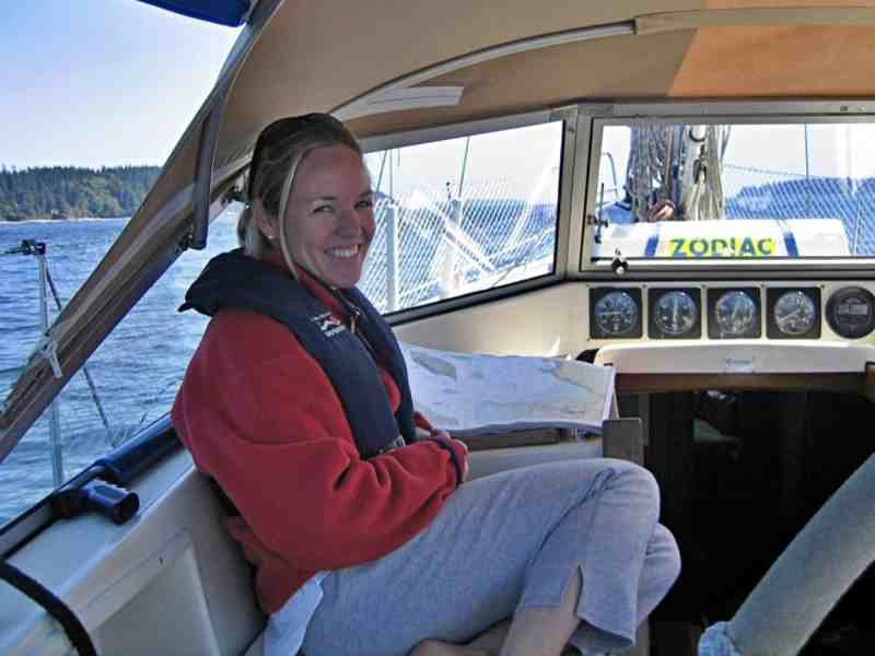
When Jamie and I were preparing to go cruising in the early 2000s, we spent several years gunkholing around Puget Sound with our growing family on board. We had a small handheld GPS, a Garmin MAP76, and a paper chartbook for the region. When we bought Totem in 2007, one of the changes Jamie made before our 2008 departure to begin cruising was a rebuild of the navigation-station table. Although Totem’s build predates the era of widespread GPS cruising, you couldn’t unfold a paper chart on the nav table. We expected to do this.
The wider table let our West Coast chartbook lie flat. We also removed the slow, small, clunky chart plotter from the nav station. This we replaced with a ruggedized laptop running charting software, and connected to an NMEA2000 network for navigation data. The bigger screen, higher resolution and faster speed added up to a better mousetrap for our primary chart plotter.
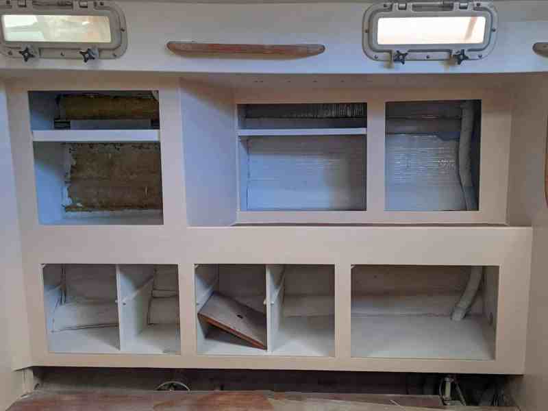
Several years later, while we were putting coins in the cruising kitty in Australia, Jamie built a locker expressly for chart storage. Carved out of dead space from a portion of the pilot berth, the new locker allowed flat storage of our paper-chart collection.
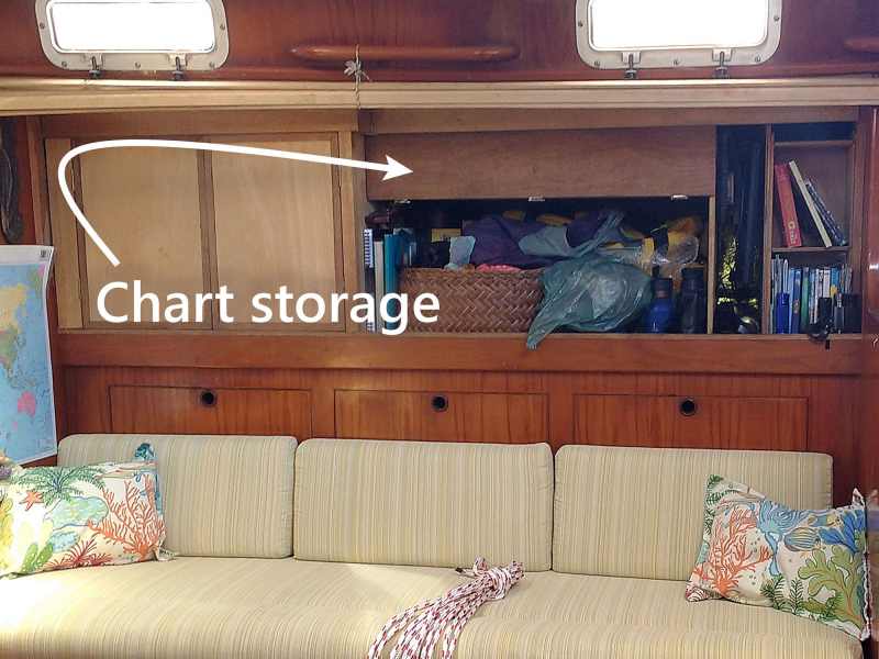
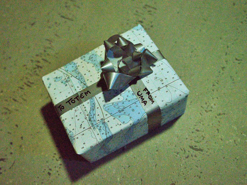
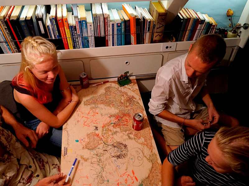
Jamie began sailing more than 50 years ago and is skilled at navigating using paper charts. I am a confirmed map geek who finds joy in poring over them. Yet, as the years rolled by, we never pulled a chart from that locker to use for navigation. We did use paper charts for wrapping Christmas presents. We’re not the only cruisers who have done this.
Tools and technology for cruising have changed within a generation. Recently, I posted a question on our Facebook and Instagram pages to gather opinions about whether to reinstall Totem’s SSB radio. Like paper charts, it’s been years since we made use of long-distance radio communication. Like paper charts, SSB is a tool that voyagers relied on for decades and remains in use by a shrinking minority of cruisers today. And like paper charts, the decision to use it or lose it elicits strong opinions from comments to the post.
I went to a few forums to see what other sailors volunteered on the topic. “Real ocean sailors would rely on paper charts,” one tenured cruiser said. Well, then! Or how about, “See ya on the rocks,” another person lobbed from behind a pseudonym. Ah, internet. Scornful comments flung by the salt-crusted (or settee potato, hard to tell) to a newer generation ends up shutting down the ability to exchange thoughtful, different perspectives. Both comments are a dissonant clash with the 2023 reality where it seems most cruisers do not use the paper charts they have, and new cruisers don’t see the need to acquire them. I asked on Totem’s socials (find the posts here on Facebook, Instagram) how often folks use paper charts, or if they use them at all—then, held my breath waiting for responses.
Charting on Totem
Our philosophy isn’t chart-medium-specific, rather, simply put, our philosophy is: Don’t rely on a single source. Have multiple inputs and compare them, and most important, use your senses—especially common sense. We apply this for navigation and for weather, and it’s relevant for the SSB question as well. It happens that paper charts have not been among those inputs in a very long time aboard Totem.
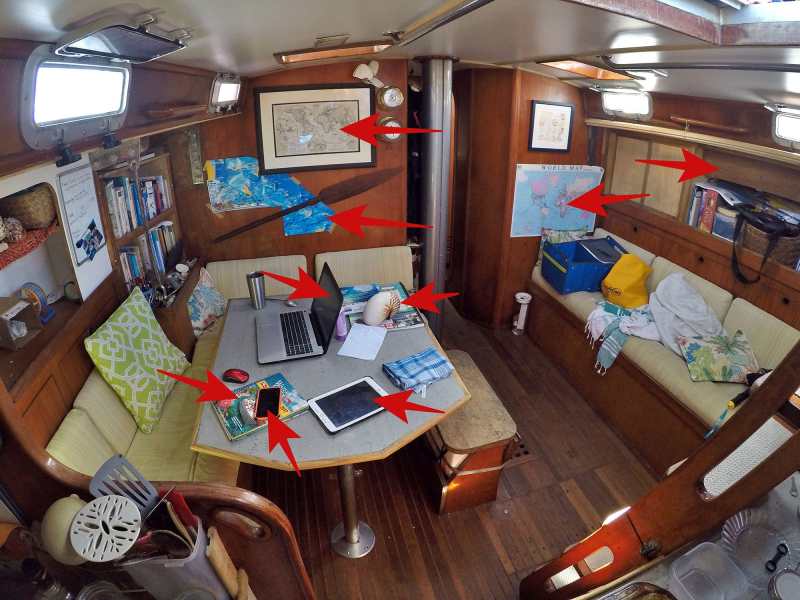
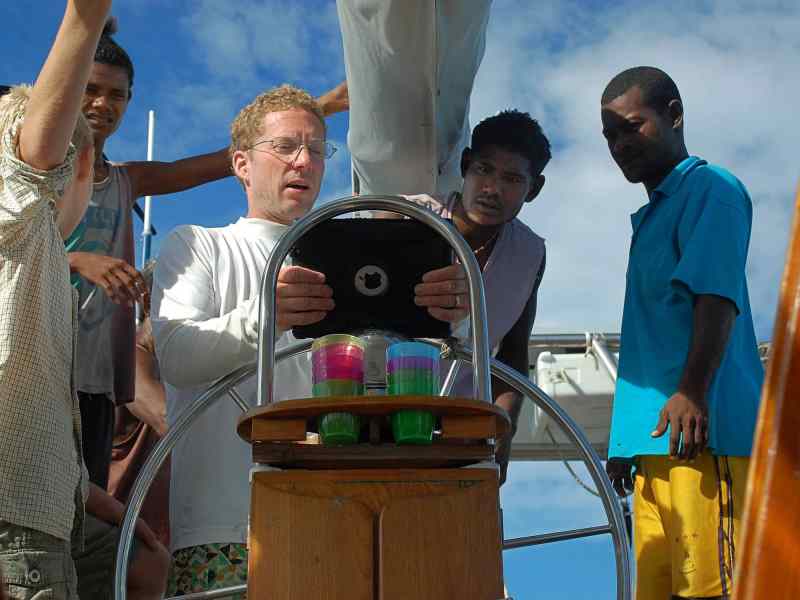
What exactly are we using? We have a primary chart plotter on a laptop, which is running OpenCPN with CM93 charts, pilot charts and KAP files (geo-indexed satellite images). We have two tablets—an iPad and an Android—each with different navigation software (currently, iNavx and Navionics). We are map geeks and will carry a few small-scale, large-area paper charts that we never expect to use.
For folks who love paper charts—cool, you do you! Hopefully you’re finding a way to compare them with other data too—partly for the intrinsic value in comparing different sources and because paper chart data might be outdated. We are astonished by how frequently different chart sources are different in the information or detail about the same location. Meanwhile, there’s a great rundown of the relative strengths of paper charts over electronic, and of electronic charts over paper, on the Starpath Navigation website’s blog.
Fostering navigation skills
Many sailing education courses are based on using paper charts and traditional skills. Do you feel cognitive dissonance there? Don’t! The skills are still valid, but we need a bridge to the tools used today. I sought opinions from instructors, and had a good conversation with Brady Trautman about how they manage this at Cruisers Academy. There, students coming aboard the program’s Passport 42 Lintika may have a chance to learn traditional skills (such as basics of a noon sight on the boat’s sextant), but instruction is grounded in modern reality. Brady noted how sailors accustomed to coastal cruising (where the internet is always on) need to be prepped for a cruising life where charts must be available offline on their devices, and to seek multiple electronic sources for redundancy and cross-referencing. Other traditional navigation skills we discussed still matter—and, they are not locked into paper charts.
One example of how traditional skills play into digital tools is for understanding the different ways that latitude and longitude are given. A PredictWind tracking page for a vessel shows a given boat’s position in degrees and decimal minutes, such as: 6° 46.652 S / 179° 19.841 E. But the default setting (rarely changed; we see many) for a Garmin InReach tracking page uses decimal degrees, displayed as 6.777533° S / 179.33063° E. Perhaps you prefer the traditional presentation in degrees, minutes and seconds, such as 6° 46’ 39″ S / 179° 19’ 50”. All three waypoints given here represent exactly the same location in Savu Savu, Fiji. Examining a chart, plotting and analyzing your course ahead, and scanning hazards to avoid are equally important between paper and digital charts. Migrating from paper charts doesn’t mean navigation skills are lost. It means they evolve.
Meanwhile, most responses on my post to Totem’s social media about charts aboard were far more thoughtful than what the wild internet offered. In fact, they made me honestly feel so good about how people could share without judgment about what they do, instead of slinging “mine’s the best” drivel. MVP among comments came from our friend Fred Roswold. He has been cruising for nearly four decades aboard Wings, his Serendipity 43 (a custom IOR race boat), spanning from paper-chart-centric cruising into the digital-navigation era. Fred and his late wife, Judy, departed from Seattle with “more than 500” charts on board. His concern today? That mariners become lazy because electronic navigation appears to be so easy. “In my opinion, too many cruisers simply look at an electronic display, see where they are, and leave it at that. Even today, with all of our electronics, yachts get wrecked due to bad navigation.”
One case for paper charts that must be considered is their value in the event of electronics failure. Power failure and lightning strikes do happen. This is partly managed with the redundancy of additional GPS devices. We have six or more on Totem, with a couple of them wrapped in aluminum foil as an imperfect makeshift Faraday cage. From a backup GPS (without chart plotter), traditional dead-reckoning and common sense (we know from last position, destination is 330 nautical miles away on a course of 264° magnetic), it’s not really so hard to make an approach to a destination with reasonable notion of when you should really be awake to avoid driving directly into something solid. Another case is that you can’t use auto-routing. We have a saying on Totem: FRIENDS DON’T LET FRIENDS AUTOROUTE. We’ve seen the function recommend routes that aren’t just a terrible idea, but they also are boat- and human-threatening. One autoroute directed a crew in two different apps to drive right across the middle of the shoals off Cape Hatteras. As Fred pointed out, it seems so easy.
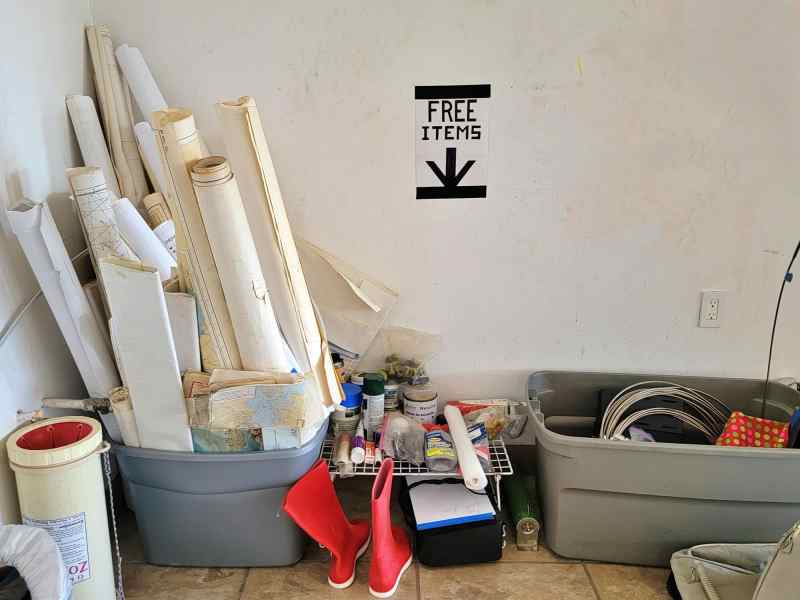
Paper or digital is not the fulcrum point. The real point is having multiple sources of information and broader fundamental skills. And common sense, which is something Jamie completely fails at when wrapping Christmas presents with old paper charts. They all turn out looking like a crumpled mess ready for the bin. A few of our old charts will still be stashed for wrapping paper, so just as the unused pilot berth was altered for chart storage, that space was reimagined and updated again in this 40-year refit.
We’re coming to Newport!September 14-16, Jamie and I will be instructors at Confident Cruiser Seminar Series: an educational seminar series designed to enhance your boating skills and confidence. Our courses include cruising for couples, offshore cruising essentials, how to make your dream a reality, and more. It’s just steps from the Newport International Boat Show. See you there!


