When Jimmy Cornell set off with his young family in the 1970s on his first world voyage, there were no reference books for world cruisers. World Cruising Routes—which Cornell first published in 1987—was the type of book he wished he’d had. The only electronic navigation device he carried on board was a battery-operated depth sounder. Offshore cruising was done by celestial navigation, with time signals obtained by shortwave radio. GPS was decades in coming.

But pilot charts have been an essential planning tool for sailors since the middle of the 19th century. Cornell’s Ocean Atlas, by Jimmy and Ivan Cornell, was first published in 2011 as a way to provide hundreds of pages of information drawn and updated from traditional pilot charts, and to illustrate the voyages that Cornell described in his 2012 World Voyage Planner. Changes in global weather patterns—some of which are extreme—made it necessary to publish an updated third edition this year.

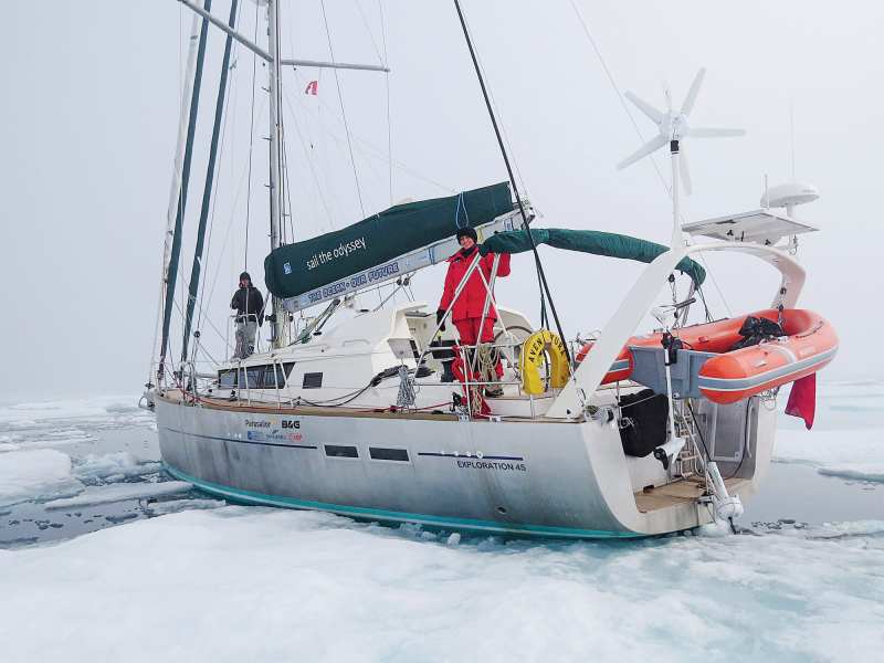
Cornell has sailed 200,000 miles in all oceans of the world, including three circumnavigations, and voyages to Antarctica and the Northwest Passage. In the past 35 years, he founded the ARC trans-Atlantic rally, organized 36 trans-Atlantic, two trans-Pacific and five round-the-world rallies, and organized one round-the-world race. He is the author of 20 books, some of which have been translated into seven languages.
When I set off from Florida to sail the world in 1989, World Cruising Routes was the most referenced book on board. We paired that with pilot charts to determine our sailing seasons and routes for more than 10 years. Cornell’s books have sold more than 200,000 copies and have helped thousands of sailors fulfill their bluewater dreams.
I caught up with Cornell in mid-September as he was on his way to the Cannes Yachting Festival, where he planned to introduce the Exploration 60.
Q: What can we expect to find in the third edition of Cornell’s Ocean Atlas?
In the 12 years since the first edition of this atlas was published, there has been a marked intensification of the effects of global warming on weather conditions throughout the world. In this fully revised and updated edition, the main focus is on all changes that may affect offshore voyages. Its purpose is to provide the necessary practical data to plan a safe voyage in these changing times.
The most significant and visible change has been the increased intensity and extent of tropical cyclones, both in the duration of the critical seasons and the areas affected. Because this phenomenon has such a major impact on voyage planning, in order to provide a full perspective on the current situation, this new edition contains all relevant facts for every area of the world that is affected by tropical cyclones.
Because the main safety threats in any of the world’s oceans are tropical storms, the latest edition of the Atlas contains detailed information on tropical storms for the past 10 years, such as critical seasons and areas, and the earliest and latest cyclones in every ocean.
To present an accurate picture of the actual weather conditions that prevail in the world’s oceans, the pilot charts featured in this atlas are based on the data collected by a network of meteorological satellites, augmented by
observations obtained from meteorological buoys and other sources, during the past 25 years. The most detailed information is displayed in wind roses, with every single wind rose being based on a total of 218,000 samples of data.
Q: You spend a lot of time talking about trade winds. Why?
One of the most noticeable phenomena is the decrease in the regularity and reliability of trade winds, as witnessed by sailors on some of the frequently traveled ocean routes. As the polar regions are getting warmer at a faster rate than the lower latitudes due to global warming, the poleward temperature gradient is weakening, and affecting the strength and consistency of trade winds.
The most traveled ocean route in the world is the trans-Atlantic passage from the Canary Islands to the Eastern Caribbean, which is sailed every year by well over 1,000 boats. Once regarded as one of the most reliable trade-wind routes in the world, as the winds on the direct trans-Atlantic route have become increasingly unreliable, the majority of sailors now prefer to sail a more roundabout route by attempting to reach, as soon as possible, the lower latitudes, where there is a better chance of finding favorable winds before setting course for their destination. I’ve included information on the routes in the Atlas.
Similar tactics also apply to one of the longest transocean routes, from the Galapagos Islands to the Marquesas. As steady southeast winds can be counted on only well to the south of the Galapagos Islands, the accepted tactic now is to sail an initial southwest or west-southwest course until the area of prevailing southeast trade winds is reached.
Q: To what basic safety measures should boaters adhere when planning a voyage?
Arriving in the tropics too close to the start of the cyclone-free season should be avoided, and a safe margin should be allowed by leaving a critical area before the end of the safe period.
Cruising during the critical period in an area affected by tropical storms should be avoided. Those who plan to do so should monitor the weather carefully and make sure to be close to a place where shelter could be sought in an emergency.
Q: I read recently that we might see large-scale changes in the Gulf Stream. Did you find any evidence pointing to this?
I’m dealing with this matter in some detail in the new edition of the Atlas, but it is a very complex issue, and I wouldn’t like to summarize it in a couple of short sentences.
Q: How do the Atlas and paper charts fit in with today’s available GRIB files and offshore weather forecasts?
GRIB files are of only limited use because they cover only the initial stages of a long passage. The entire purpose of the Atlas and its pilot charts is to assist in planning a voyage or a passage in any of the world’s oceans.
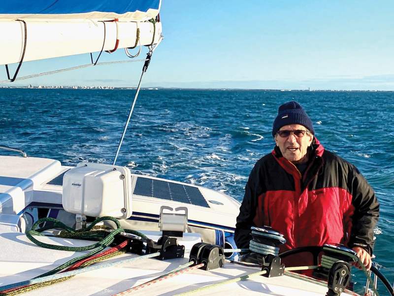
Q: Do you use pilot charts for planning or passages on your own voyages?
Of course. All the time.
Q: Did you find any positive changes compared with prior editions of the Atlas?
There is no doubt that global weather conditions are changing: slower in some parts of the world, faster than expected in others. All I can say is that with careful planning, it is still possible to set off on a long voyage, even in these changing times. But I must advise anyone who is seriously planning to leave on such a voyage: The sooner you do it, the better.
Visit cornellsailing.com for information on Cornell’s Ocean Atlas and Jimmy Cornell.


