
There was a time when sailors had to consult the clouds before hoisting sail. Fortunately, contemporary weather-routing solutions deliver faster, more comfortable rides. Better still, some of these offerings play nicely with low-cost satcom solutions, giving all sailors access to high-quality information.
While weather-routing calculations involve more than just back-of-the-napkin math, the process relies on two basic pieces of information: accurate Gridded Binary weather forecasts and the vessel’s performance characteristics (called polars).
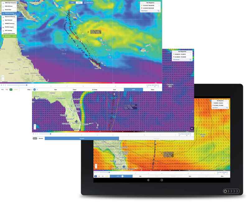
Private weather-forecasting and weather-routing services use the raw data in GRIB files that are typically produced by government organizations such as NOAA, which builds its free Global Forecast System files every six hours, or the European Union’s European Centre for Medium-Range Weather Forecasts which releases its paid GRIBs twice daily. Once released, these third-party companies can manipulate GRIB data to create forecasts using proprietary algorithms.
There are two basic ways to get onboard weather routing. The first relies on an onboard PC that’s running a weather-routing program such as Adrena or Timezero. Users download GRIB files and import them, along with their port-A-to-port-B itineraries and any waypoints, into the software, which uses this information, along with their boats’ polars, to generate routing options. A similar scheme exists for app-based weather-routing solutions.
In the second scenario, users subscribe to a cloud-based weather-routing service, where they create accounts that include their vessels’ polars. Once created, users can access their accounts via their service providers’ websites or via a lower-bandwidth option. Websites typically allow users to graphically preflight their routes, while lower-bandwidth options typically rely on small files, sent as email, that effectively list a series of waypoints, which are entered into the nav system, as well as the forecasted weather at the time of arrival at each waypoint.
Sailors cruising under the information-rich domes of cellular connectivity or long-range Wi-Fi can easily access GRIB files, but this, of course, is a much harder task offshore. Traditionally, cruisers have used single-sideband radios to download GRIBs, but recent years have seen the cost of satcom equipment and airtime rates plunge.
For example, cruisers can leverage Garmin’s inReach satellite communicators for text-only weather reports and Mazu’s mSeries system for GRIB files. Alternatively, cruisers seeking more bandwidth can consider a satcom option such as Iridium’s GO! or RedPort’s Optimizer, while cruisers seeking a global option should consider Lars Thrane’s new LT-3100S terminal, which operates on Iridium’s Short Burst Data messaging service. Impressively, this (relatively) low-cost equipment gives cruisers access to fresher information than professional navigators contesting the Volvo Ocean Race could get just a decade ago.
“On a passage from New Zealand to Fiji, we avoided the worst of a storm using PredictWind routing,” said Peter Smith of New Zealand. “Two other boats doing the same route at the same time experienced significant injury to crew and [vessel] damage.”
So while the weather will always be a wild card, modern navigators of all budgets can leverage weather-routing services to ensure faster, more comfortable rides.


