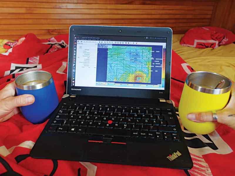
Studying weather forecasts is so much a part of the morning ritual on our boat that we automatically associate the smell of coffee with weather bulletins and surface-analysis charts. It doesn’t matter where we are—near a city with speedy Wi-Fi and downloads, anchored in a remote corner of the globe with text bulletins, or underway with the Pactor modem screeching and rumbling for half an hour to get a GRIB file—weather and morning coffee just go together.
As sailors, we live much closer to the elements than most people. Keeping an eye on forecasts is imperative for the safety of the boat and the well-being of the crew. It’s also a fun and interesting pastime.
Get your bearings. When you start exploring a cruising area, the local weather might seem indecipherable. Get a good introduction to the dominant systems by reading a few articles about the regional weather. When is the rainy season? Is there a hurricane season?
Guidebooks offer a helpful, albeit simplified, overview. For instance, guides to French Polynesia, where we’ve been cruising aboard our 1988 Sparkman & Stephens 41, Pitufa, for the past eight seasons, describe the area as having two distinct seasons: a dry and windy season between May and October, and a cyclone season from November to April with generally rainy, hot weather. This is true for Tahiti and the Society Islands, but the Marquesas are usually dry with two short rainy seasons in spring and fall, while the Gambier and Austral Islands have proper seasons with hot summers and cool winters. If you don’t study this kind of information beforehand, you’ll be in for a few surprises.
Pilot charts. Take a look at pilot charts as well. What’s the strength and direction of the predominant winds? How often do passing low-pressure systems interrupt them? Get an overview, and then choose a few reliable weather sources from the jumble of available information. Check them on a daily basis.
Look at the big picture. When we have a strong internet connection, we download wind forecasts for a large area to observe the distant systems behind the local winds. This technique helps us, for example, keep an eye on passing troughs that interrupt the trade winds, or take note of an acceleration zone on top of a high-pressure system.
We like to compare the American Global Forecast System model with the one from the European Centre for Medium-Range Weather Forecasts. That way, we can see how they differ. We also like to check the models after the fact and keep track of which one was more accurate.
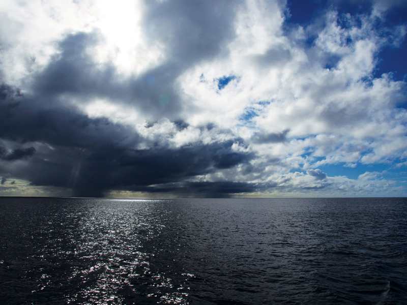
Surface-analysis charts allow us to visually interpret the isobars, and they turn features such as fronts, troughs and lows into comprehensible images.
Some cruisers crop too small of a frame when forecasting and download data on an immediate area without seeing the bigger picture. They’re often flabbergasted (and curse the stupid forecast!) if the wind blows from the opposite direction. By contrast, if you download a larger GRIB file, you might see a convergence zone with northwest winds on one side and southeast winds on the other. The big picture is important to understand because minor inaccuracies in the forecast can result in a major predicament that leaves you pitching and rolling off a lee shore.
Looking at the big picture also means that you can prepare for multiple scenarios and have alternative anchorages in mind. We like to explore cruising areas thoroughly and have our own GPS tracks to follow to a safe anchorage in the event of a windshift—a tool that is especially helpful if a move must be made during a squall or in the middle of the night.
Get a feel for weather patterns. During a prolonged stay in a protected anchorage, it’s interesting to look at the forecasts every day. What’s typical for the season and area? Do forecasts tend to overestimate or underestimate weather features? How do systems move? What can you expect from windshifts from certain directions—sunny skies or squalls? If you know your weather, then you can enjoy fair-weather sailing downwind or use the windshifts that passing troughs generate to make miles against the prevailing trades.
Wait for proper windows. Losing your patience and sailing out on a suboptimal weather window is tempting, but it often leads to frustration. Flogging sails in fickle winds, or too much wind from the wrong direction, is worse than waiting.
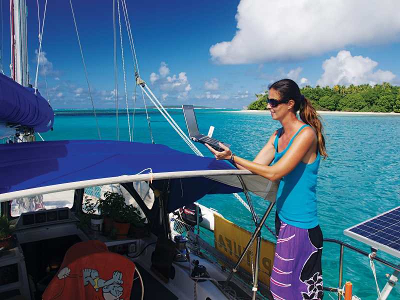
Once you find your window, make sure that you have a reliable source for forecasts underway. Whether you’re using an SSB or Iridium, monitoring forecasts means you can change course if needed, or head for an alternative destination.
Each year, we sail east from Tahiti toward the Tuamotus in September or October, and each year neighbors ask us which island we’re headed for. The answer’s always the same: “Where the wind will allow us to go.” Setting out with winds from the northerly quadrant, we make miles eastward and try to get as far as we can. If the wind shifts back to the east earlier than expected, or has less of a northerly component than hoped for, we have half a dozen atolls from which to choose.
Keep it up. Continue to look at forecasts even at anchor, and be prepared to move. What looks like a benign calm in the anchorage might, in reality, be an approaching system loaded with squalls. Being prepared with information is better than trying to ride out nasty conditions on the wrong side of an atoll. Fetch can build quickly, and waves can reach surprising heights. We were anchored recently on the east side of Maupihaa in the Society Islands when we noticed that the GRIB files showed a major wind shift within the next two days. Those shifts often come with squally fronts, so we warned our neighbors in the anchorage and set out to explore alternative spots in the atoll that might be safer in the clocking winds. When the front arrived with 30 knots from the northwest, we were comfortably anchored behind a beautiful motu on the northwest side. Unfortunately, the boats that decided to ride out the shift on the east side spent “the worst night of their cruising lives,” according to the skipper of a 50-foot catamaran, even though they were anchored just 2 miles away from us on the other side of the tiny lagoon.
Birgit Hackl and her partner, Christian Feldbauer, have cruised French Polynesia for eight seasons. For more information, visit their blog.
Check the Charts for Patterns
Cross-referencing pilot charts, local guides, and anchorage guides can offer a good overview and insight into the weather patterns of an area.
See our satellite data-based global interactive wind atlas at pitufa.at/oceanwinds.
Pacific Weather
The weather in the South Pacific is dominated by two big highs—the Kermadec high and the Easter Island high—with the South Pacific Convergence Zone in between. The trade winds here are not as stable as Atlantic and Caribbean trades, and can be frequently interrupted by troughs that travel along the convergence zone. Every couple of weeks, a passing trough lets the winds clock around, which is annoying when passagemaking westward but handy when hopping eastward along the islands.
We use Meteo France’s weather bulletins and surface analysis, NOAA’s surface analysis and cyclone warning site, and the weekly summaries of MetBob’s Bob McDavitt. All of those sites are embedded here: pitufa.at/weather-fp.
For Fiji, see the weather forecasts on the government’s official site (met.gov.fj), which includes the marine forecast.
These sources provide a general overview:
Pacific Crossing Guide (Adlard Coles Nautical); South Pacific Anchorages (Imray); Cruising World, July 2019, “Pacific Weather Routing”; and Cruising World, July 2019, “Pacific Passage Planning”.
We use an SSB radio in combination with a Pactor modem to download forecasts underway, or when in remote areas. SSB propagation is limited to certain times of the day, so some cruisers prefer a satellite phone. No matter which medium you use, saildocs.com provides a great free service to download forecasts, using small files to save data. For French Polynesia, visit pitufa.at/weather-fp.


