Spotting Coral Heads
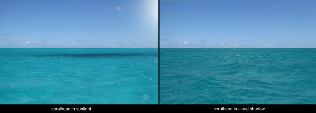
Good lighting is vital to spotting coral heads, as one cruiser learns on a sail through the Bahamas.
Good lighting is vital to spotting coral heads, as one cruiser learns on a sail through the Bahamas.
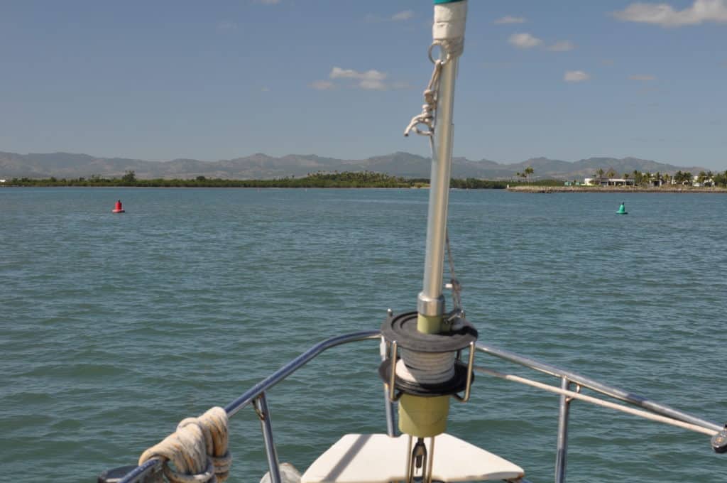
We’ve all heard the phrase “red right returning,” but the well known navigational rule isn’t true everywhere.

If you lose your electronic advantage, taking a running fix will help you know where you are and where you’re headed.
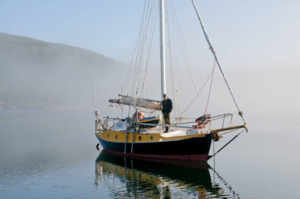
Modern electronics and time-tested seamanship skills will keep you going when visibility diminishes.
Developed for commercial shipping and collision avoidance, AIS is now an everyman’s tool for watchkeeping and navigation — and that’s just for starters.
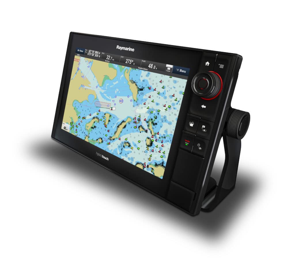
Electronic navigation companies and government hydrographic offices are harnessing the power of big data to bring you better charts and eliminate uncharted waters.
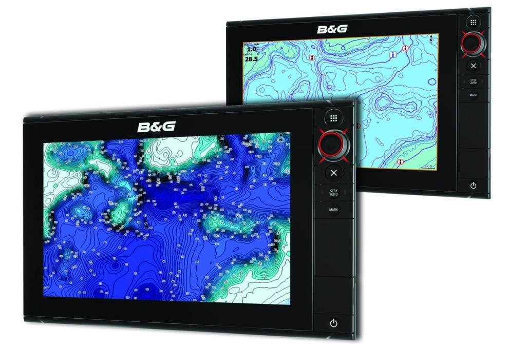
The 7-inch Vulcan is intended for the small-boat market but will fit right in with multi-display networks.
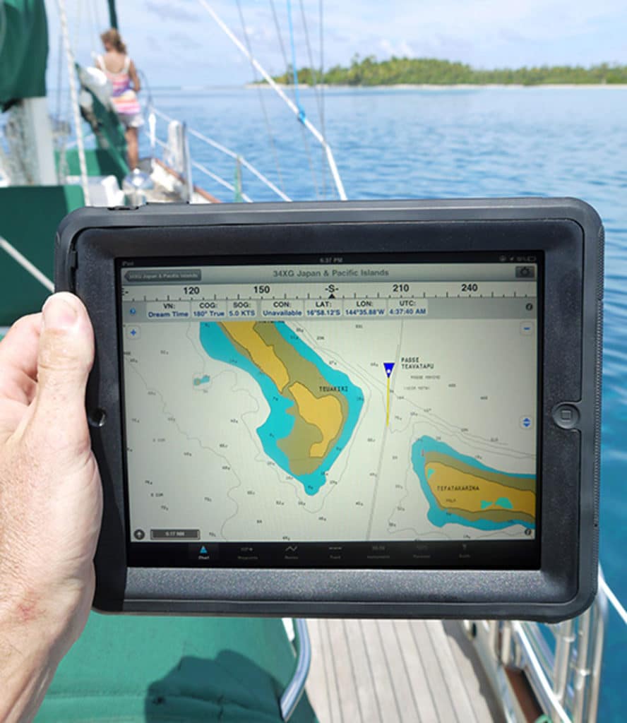
An iPad navigation system offers a comprehensive solution for long voyages

A cruise through Georgian Bay’s unsounded white areas keeps a couple on their toes, but loving it just the same.
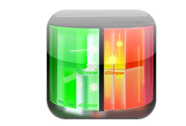
Need to brush up on your nautical rules of the road? Wonder what the lights on the horizon mean? Check out this app.

Two North American neighbors recently agreed to eliminate overlapping coverage of electronic navigational charts.
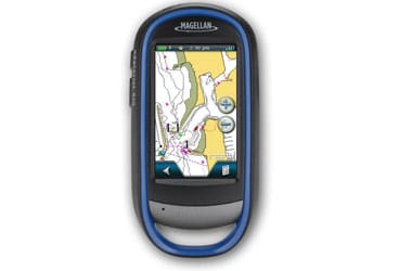
The Marine Edition combines Magellan’s rugged, waterproof eXplorist 510 Outdoor GPS navigator with exclusive Navionics marine charts and content for 12,000 U.S. lakes and coastal coverage up to two miles offshore. New Products from our November 2012 issue.
Good lighting is vital to spotting coral heads, as one cruiser learns on a sail through the Bahamas.
We’ve all heard the phrase “red right returning,” but the well known navigational rule isn’t true everywhere.
If you lose your electronic advantage, taking a running fix will help you know where you are and where you’re headed.
Modern electronics and time-tested seamanship skills will keep you going when visibility diminishes.
Developed for commercial shipping and collision avoidance, AIS is now an everyman’s tool for watchkeeping and navigation — and that’s just for starters.
Electronic navigation companies and government hydrographic offices are harnessing the power of big data to bring you better charts and eliminate uncharted waters.
The 7-inch Vulcan is intended for the small-boat market but will fit right in with multi-display networks.
An iPad navigation system offers a comprehensive solution for long voyages
A cruise through Georgian Bay’s unsounded white areas keeps a couple on their toes, but loving it just the same.
Need to brush up on your nautical rules of the road? Wonder what the lights on the horizon mean? Check out this app.
Two North American neighbors recently agreed to eliminate overlapping coverage of electronic navigational charts.
The Marine Edition combines Magellan’s rugged, waterproof eXplorist 510 Outdoor GPS navigator with exclusive Navionics marine charts and content for 12,000 U.S. lakes and coastal coverage up to two miles offshore. New Products from our November 2012 issue.