Editor’s Note: In our October 2026 print issue, this article omitted the professional title of Capt. Jessica Yeomans, an inconsistency that failed to impart the same due respect given to the other captains featured in the article. Her title was included in the writer’s original submission but was omitted during the editorial process. We regret the error.
In March, an Air Canada flight collided with a fire truck at LaGuardia airport. The reports first said the fire truck had checked in with the control tower, but then later said there was no confirmation. Recordings revealed a radio call intended for the fire truck that was “stepped on” by another transmission, and therefore not audible. The flight’s radar screen showed two blobs ahead, but neither moved into the plane’s path. And the fire truck didn’t have a transponder, so it didn’t show up on the airport’s surface detection tools.
Lessons from aviation news often translate straight to maritime operations. Look at a plane passing overhead at night, and you’ll see the same visual clues we see on the water: red lights on the left side of the plane, green on the right. In aviation and maritime worlds, we call busy areas “ports,” and we have funny names for the bathrooms and kitchens. There are no roads in the sky or sea, but there are right-of-way rules and procedures. The regulatory parallels run deep about who can operate where—think cabotage-type restrictions about who can operate where, licensing requirements, international treaty-based standards (SOLAS) versus domestic passenger-safety standards, airport surface-detection tech vs. maritime radar and AIS, and how crashes or close calls lead to new rules.
So, this airport collision made me think about the Automatic Identification System, an electronic system which lets ships see and talk to one another and to shore stations. AIS sends basic information—the ship’s name, where it is, how fast it’s going and which direction—so boats can avoid collisions. Aviation has a similar system, but, like AIS, it is not required for all classes of vessels. With the LaGuardia collision, officials pointed out that transponders “should” be used even though they are not required. The fire truck didn’t have one.
If a so-called “safety-enhancement signal” can leave some people blind in an airport, what happens on the ocean when some boats broadcast AIS and others don’t? If a radio call can be “stepped on” and not heard, or if radar can show objects that don’t appear to move, then we have blind spots that emphasize why clear procedures, redundancies and a healthy skepticism toward electronics are so important.
And nowhere are electronic blind spots more common than with GPS.
We rely on GPS for everything from navigation to synchronizing stock markets and power grids. Yet, the system is surprisingly fragile. Signals come from satellites more than 12,000 miles away, broadcasting with the strength of a 44.8-watt lightbulb. This makes them easy to disrupt with simple jamming or spoofing devices that can be bought online for a few hundred dollars. The U.S. Coast Guard constantly tracks regions where these outages threaten safe navigation. They happen mostly in conflict zones, but it can happen closer to home, too.
In 2013, a New Jersey truck driver used an illegal jammer to hide his location from his employers. Boats in the Port of Newark began reporting their positions as being many miles inland, and when the trucker drove by Newark airport, his device interfered with the air traffic control system, impacting all flights. And just last year, NAVCEN reported a U.S. Border Patrol vessel in Texas was temporarily “transported” to Europe by spoofed coordinates.
A 2018 congressional report warned that GPS jamming posed a growing threat to ship navigation and situational awareness. Since then, the U.S. government has poured millions of dollars into researching GPS alternatives, such as eLoran.
Now, you might be thinking that paper charts are the solution to a temporary GPS outage. The thing is, you might not even know you need them.
Most modern GPS units have an “inertial navigation system.” Think of it like driving down the highway, following a map on your phone. When you enter a tunnel, your phone loses the satellite signal, yet your little car avatar keeps moving along the highway onscreen. That’s the inertial navigation system. In reality, the system has switched to dead reckoning. It is guessing your position based on your last known speed and direction, and how much time has passed.
Like dead reckoning on the water, with GPS, the more time that elapses without a solid fix, the more inaccurate your position becomes. Even worse, most devices don’t warn you that they have switched modes. That’s the electronic blind spot. You might think you have a solid fix, but you could be miles off.
GPS isn’t the only navigation tool that has blind spots. Added up, these can create a false sense of constant accuracy.
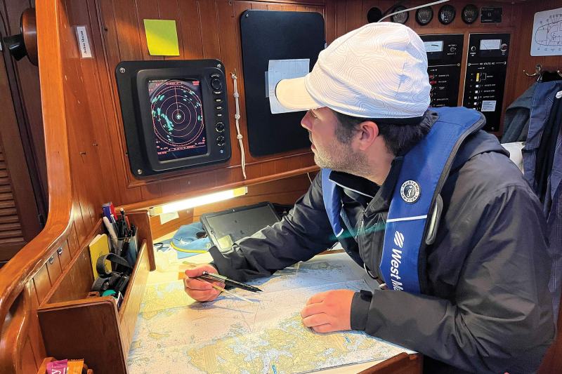
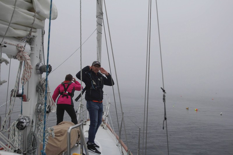
While most recreational sailors never take a formal exam on the rules of the road, we are legally bound by them just the same. Two rules stand out as the bedrock of safety: Rule 5 (Maintain a Proper Lookout) and Rule 7 (Risk of Collision). Together, they mandate that every boat must use “all available means” to assess the situation. This isn’t just a suggestion to glance at a chartplotter; it’s a legal requirement to use every tool at your disposal. Radar, AIS and VHF radio, if they are aboard, must be switched on. These rules also include our eyes and ears, and maintaining a proper lookout on deck.
All of which creates an interesting conundrum for long-distance solo sailors: How can a sailor legally maintain a continuous lookout if they must eventually sleep?
Most U.S. commercial vessels have been required to have AIS since 2016. Like GPS and VHF radio before it, AIS technology eventually trickled down to recreational sailors. Today, many cruising boats are equipped with an AIS receiver, and some with a transponder. Marine radar followed a similar path, beginning with the military and moving to commercial ships in the 1960s. Now, most commercial vessels are required to have radar, and many recreational vessels opt for it as well. In fog, radar is like an extra set of eyes.
If you visit MarineTraffic.com, you’ll see icons of thousands of boats peppered across the oceans, bays and waterways. These are vessels transmitting AIS signals. Zoom in or click on a boat, and that icon turns into a picture with information like its course, name and size. This tool is incredibly helpful for observing boats in your area and for determining if there’s a chance you’ll encounter each other.
With so many boats on MarineTraffic and the AIS screen, it’s easy to assume you’re getting the full picture, when in reality, you’re just touching the surface. My husband, Capt. Ben Carey, spent a few years operating tugboats in San Francisco, New Orleans and Baltimore Harbor. He became the go-to guy among the crew for insight into what they called “the funny little engineless boats” zigzagging about the harbor. Tug captains would encounter a sailboat and ask, “Hey Ben, why the heck don’t they have their AIS on?” This was the electronic blind spot baked into the rules of who must transmit an AIS signal, and the dangerous assumption that everyone does.
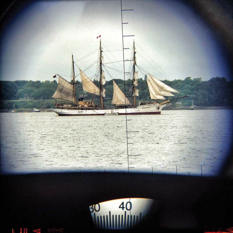
Lieutenant Commander Tom Whalen from the U.S. Coast Guard Investigations National Center of Expertise says that often, commercial boats, especially fishing boats, will keep their AIS silent, even if it’s against the law. Fishers can be protective of their grounds and don’t want their competition to see where they’re fishing.
But even aside from those who deliberately turn off their AIS, most boats don’t even have it. In fact, studies show that the vast majority of boats are not equipped with AIS—somewhere between 70 percent and 80 percent of all boats.
Capt. Jessica Yeomans, who has spent years operating tugboats, primarily in New York Harbor and surrounding waters, says that increasing AIS requirements for recreational boats might only add to confusion and screen clutter.
Whalen says AIS likely won’t be mandated for recreational boaters because of cost. And indeed, I often talk with boaters outfitting their boats for cruising who get stuck trying to decide between radar or AIS because they can only afford one.
But why these two are lumped into the same category is beyond me. Radar and AIS are fundamentally different tools, not substitutes.
In Maine, radar is queen. It “sees” rocks, storms, unlit buoys and non-broadcasting vessels. But in a busy harbor like New York or parts of the Intracoastal Waterway, AIS shines. It can “see” around bends and identify vessels before they are distinct on the radar, or visually. Fog, weather and traffic density dictate which tool is more critical at any given moment.
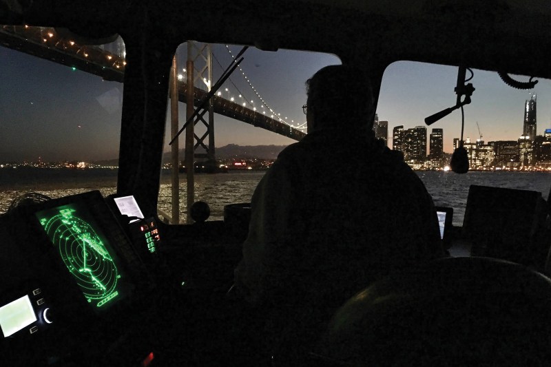
Because radar waves bounce off surfaces in unexpected ways, sometimes radar creates “ghost” targets (false echoes). It can’t identify what is there without the sailor’s interpretation or, better yet, visual confirmation. AIS cannot see any of the nontransmitting objects like rocks, debris and the majority of boats that simply don’t transmit AIS.
Put another way, AIS will show you some of the boats, but not all. Radar will show you most of the objects (and approaching weather), but it won’t tell you what those objects are. AIS has blind spots too. Yeomans says it notoriously stops working when she enters the North River, past James Point, because of the topography.
Even the VHF radio has a blind spot, as it’s not broadly required for all vessels yet. While Whalen says to not be afraid to utilize the radio to reach out to any vessel if there’s a possibility of a crossing situation, Yeomans cautions that too much communication can become a distraction. She says that sometimes recreational sailors will hail on the radio just to give a friendly “I see you ahead and I’ll take you on your stern, Cap.” In that circumstance, Yeomans says there’s no reason to call: “If you’re gonna’ take my stern, then take my stern. If there is a situation where maybe they are unsure of what we are doing and they are worried about their own safety and felt they needed to call, then sure.”
It’s a delicate balance of determining when to hail a vessel and when to steer around it.
Whalen also notes that electronics—and AIS specifically—can be a “causal factor” in collisions. For instance, in a 2015 collision near Lafayette, Louisiana, the captain relied almost exclusively on AIS to spot traffic, using radar only as a backup. Yet his radar was set to a dangerously short range, and he failed to do periodic long-range scanning. In dense fog with low visibility, that reliance was an error.
The problem isn’t just missed scans; it can also be bad data. A 2020 Marine Safety Alert warned that “accurate (AIS) broadcasts don’t happen automatically,” citing a Mississippi River collision where one tug displayed a length of 72 feet instead of 672, and another showed 200 feet instead of 1,600. Neither captain understood the true scale of the threat. Whalen says this is more common than we might think: Vessels can remain marked “in port” for days after departure. Critical fields such as dimensions, vessel type and navigation status can be wrong.
“I wouldn’t rely directly or solely on AIS,” Whalen says. “Always have a lookout. Just because you see them doesn’t mean that they can see you.”
Yeomans says the challenges run deeper. “The bigger picture in my perspective has always been that there has to be more stringent laws in order for people to get a recreational boating license,” she says.
Ultimately, tools are just that—tools. Whether required or optional, they are useless if misunderstood. Even as the technology improves, the hierarchy remains unchanged: Your eyes and ears are primary, your crew is a vital resource, and electronics are secondary aids. The tools are only as good as the operator. If you don’t understand their limitations, you are sailing blind.
Teresa L. Carey is the co-owner of Morse Alpha Expeditions, a coastal and offshore sail-training program. She holds a 100-ton Master’s license and has lived aboard, sailed solo and captained commercial boats since 2001. morsealpha.com