Savvy Navvy has added wave forecasting to its navigation app, giving boaters a more complete picture of sea state before they leave the dock. The feature is live now for all users worldwide.
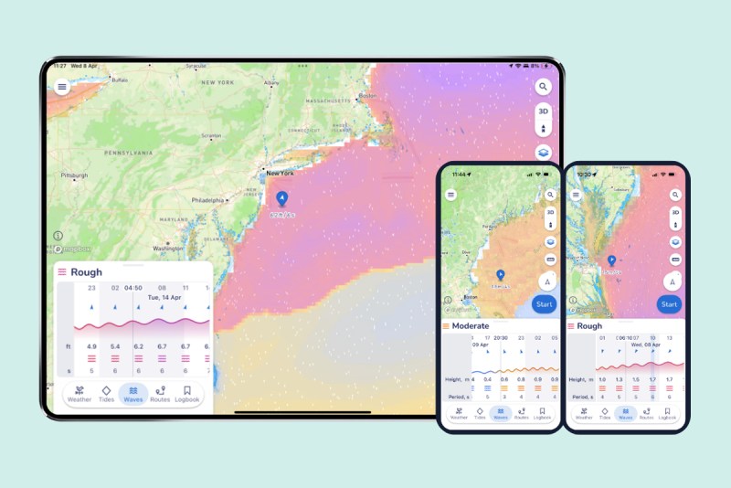
The addition fills a meaningful gap in passage planning. Wind and tide data have long been table stakes for any serious navigation app, but wave conditions—and specifically the relationship between wave height, period and steepness—have historically required a separate source. Savvy Navvy’s new layer pulls official data from the Copernicus Marine Service and distills it into a color-coded comfort overlay and wave comfort graph, making the information readable at a glance rather than requiring interpretation.
The engineering logic behind the feature reflects how experienced sailors actually think about sea state. A six-foot swell with a 14-second period is a very different proposition than a six-foot chop with a five-second period. The first rolls under the hull; the second pounds it. Savvy Navvy’s Chief Product Officer Misha Vysokovskiy put it plainly: the feature combines wave height, period and direction to show boaters “whether they’re in for a smooth cruise or a more challenging ride.”
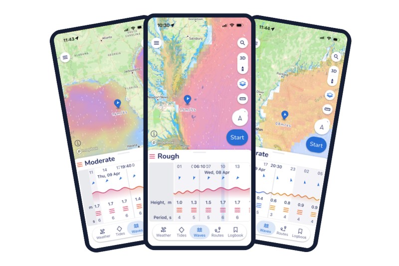
That framing aligns with how BoatUS has long characterized wave risk. It is steepness, not height alone, that determines when conditions turn dangerous. Emily Caruso, a boat captain and qualified instructor, underscored the point: swell direction, height and period carry equal weight to a wind forecast in the planning process, and the sea state that follows a blow is often the bigger threat to crew and vessel than the wind itself.
The waves feature arrives on the heels of several other recent Savvy Navvy updates, including NMEA Connect, a chart annotation tool, and Three Point Fix—both developed in response to requests from sailing instructors looking to use digital charts as interactive teaching tools.
Savvy Navvy, which has surpassed three million downloads globally, markets itself as “Google Maps for boats.” Its core differentiator is smart routing that generates optimal courses and dynamic ETAs by synthesizing departure time, chart data, weather, tides, boat specifications and local regulations in real time. Those integrations have made it a go-to for many sailors who want to consolidate their pre-departure workflow into a single app.
The waves feature is available now. The app can be downloaded at savvy-navvy.com and runs on iOS, Android, PC and Mac.


